posted 12/13/10 04:13 PM | updated 12/13/10 04:13 PM
Featured Post! | Views: 0 | Comments : 0 | Science

advertisement
Hello!
The SunBreak is an online magazine of news & culture. It's a conversation about all the things on Seattle's mind (more about us). Got a post for us? We'd like to see it. Or just send us . If you'd like to contribute regularly, .
Twitter: @thesunbreak | Facebook
iPhone app download (Free!)
Twitter: @thesunbreak | Facebook
iPhone app download (Free!)
advertisement
Subscribe to The SunBreak
Regular reader? Subscribe to The SunBreak for just $1 per month, and help keep the news & culture coming.
Delivery Options
 Subscribe to our Front Page Stories
Delivery Options
Subscribe to our Front Page Stories
Subscribe to all SunBreak Stories
Daily Email Digest of The SunBreak
advertisement
Recently in Our Flickr Photo Pool
www.flickr.com
|
Our Facebook Fan Page
Neighborhood Blog News
Niche Blog News
Seattle Weather
Get the SunBreak iPhone App
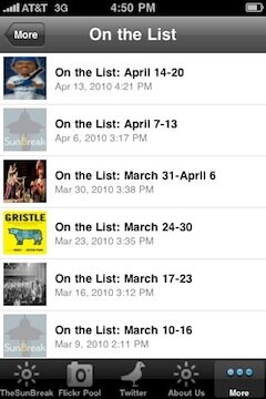
Download the SunBreak iPhone app for free.
Not a Member?
Sign Up

Most Recent Comments