Hurrricane Ridge's web cam view
A few days ago, I rang up Seattle City Light to see if the winter storm pummeling the Olympics and Cascades was doing anything to replenish our snowpack--and hopefully keep the hydropower running strong this summer. The upshot was, we were going to need more than one storm.
Well, buckle up. Cliff Mass's post is titled "Stunning Day of Convection and BIG Storm Coming."
Major weather changes are in store Friday and Saturday. Moderate to heavy precipitation over the region...with a very strong low moving just north of us. Winds will be very strong over the coast (40-60 kts), northwest Washington (30-50 kt) and breezy (20-40 kt) over the PS lowlands on Friday.
The National Weather Service has Seattle under a High Wind Watch for most of Friday; they say gusts might hit 55 mph over western Washington, and if that's the case, we can count on some power outages as trees and tree branches take down power lines.
ProbCast also has our daytime chance of precipitation at 85 percent, so it sounds like Friday should be quite a day. Raincoats, yes. Umbrellas, not so much.
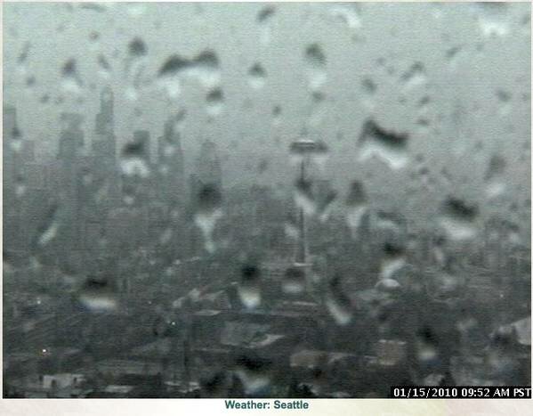
Rain is general over Washington (see webcams), and meteorologist Cliff Mass is watching the weather models like they are presents on Christmas Eve. At the moment, wind is running 50 knots about 3,000 feet above Seattle--not gusts, sustained--and Mass says a series of disturbances could bring hurricane-force gusts to the Washington coast. KIRO TV says Hurricane Ridge could see 90-mph gusts today.
The National Weather Service is keeping most of Western Washington on flood watch through Saturday afternoon, and even if you're a blue-tarp camper, now is not a good time to visit the banks of the Skokomish River.


Most Recent Comments