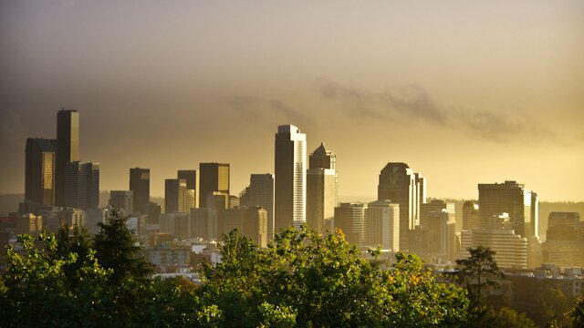
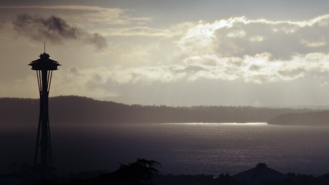


Weather-watchers are a little radar-crazy at the moment, and who can blame them? They’re seeing a lot more clearly than in the past. You can, too, by stopping by the University of Washington Atmospheric Sciences radar mashup–it’s an animated view from Kamloops to Medford.
We’ve had some “unsettled weather” the past few days, and naturally UW meteorologist Cliff Mass is thrilled at the chance to put the new radar gadgetry into play. Specifically, he’s been watching the intersection of the new coastal radar at Langley Hill and our boring old Camano Island radar.
With weather radars on both sides of the Olympics now, we can do something we have never done before: examine simultaneously both the enhancement of precipitation on the windward side of the mountains and rain shadowing on the other.
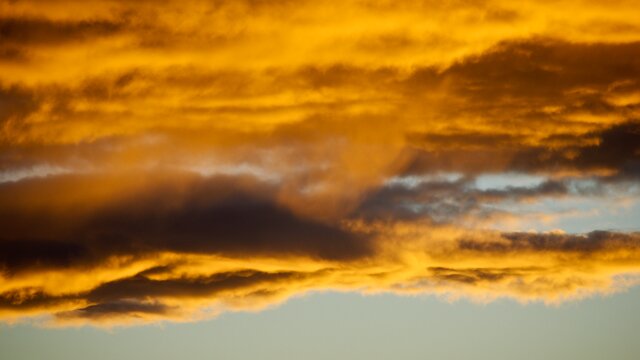
“Enhancement” means the way the rain picks up as clouds encounter the western side of the Olympics. The mountains then create a rainshadow to the east. This happens again when clouds encounter the Cascades, which is why you can often drive east out of the rain. “You got to love the weather around here…lots of variability!” enthuses Mass. “Don’t you feel sorry for people back east where the weather is so uniform and boring?”