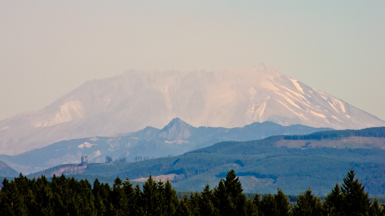

“Imaging Magma Under St. Helens” is the name of a new research project (aka iMUSH) that’s just gotten National Science Foundation funding. Beginning in 2014, scientists with the University of Washington; the Rice, Columbia, and Oregon State universities; and the USGS will embark on a four-year study of Mount St. Helens, the most seismically active volcano in the Cascades mountain range.
St. Helens has been percolating off and on for between 300,000 and 500,000 years, but what’s really going on down there remains mysterious. Magma somehow makes it from the subduction zone where the oceanic Juan de Fuca plate grudgingly curves under the continental North American plate, perhaps 66 miles down. But although the mountain might add to its height with a lava dome, the 1980 eruption of St. Helens was marked by gas and ash–a plinian eruption–rather than torrents of “liquid hot magma.”
What gives? Researchers will throw eight of their best X-Ray Specs techniques at the problem, upping the amount of seismography on and around the mountain substantially. (St. Helens has been under a seismographic microscope for a while, even before the 1980 eruption, and you can follow along with its mini-quakes online–it averages about 22 per month.)
One way of getting a better “look” is with the anodyne-sounding “active seismography“–which means they’ll be drilling 80-foot-deep shafts and setting off explosions in them. For science. They’ll also use receiver function analyses, ambient noise tomography (that’s when you listen to the Earth hum), and magnetotelluric surveys.
Because the Earth transmits telluric currents, depending on fluctuations in its magnetic field, you can listen in to how well they’re being conducted, and learn something about the make-up of the ground beneath your feet. Magnetotelluric surveys can manage incredibly deep soundings, up to 6,000 miles.
Researchers will also be looking for the cause of deep, long-period quakes (DLP earthquakes, of which there have been “9 events since 1980, generally located 5-10 km southeast of Mount St Helens at 25-30 km depth”)–is it magma shifting into new reservoirs? Another fluid? Petrology, another tool in the utility belt, will focus on samples of igneous rock and try to trace the circumstances of their formation.
All in all, the scientists will have more precise, higher-resolution data to pore over, seeing more deeply and thoroughly into the Mount St. Helens region than ever before. “The National Science Foundation will spend about $3 million on the project,” says The Columbian, in its story–the grants will be parceled out to lead investigators at the collaborating institutions over the next few years.