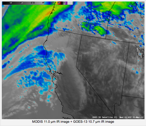
NASA’s GOES-West weather satellite (aka GOES 15 aka GOES-P) normally sits in geostationary orbit, 22,300 miles up over the Pacific Ocean, halfway between Hawaii and the west coast of the U.S.
However, when an “incorrect plan” led to a “bad momentum unload” (which sounds like user error, not solar storm-related), the satellite automatically went into sun acquisition mode, and, while trying to orient itself, has stopped transmitting data.
The satellite has only been active in its eye-in-the-West-Coast-sky position since early December 2011, so it’s a bit early for it to be out of service, though there’s a GOES-14 sitting on the geostationary bench should anything catastrophic happen. And, in 2015, NASA will launch the first GOES-R series satellite, which “is expected to more than double the clarity of today’s GOES imagery and provide more atmospheric observations than current capabilities with more frequent images.”
NOAA has helpfully put GOES-East “in full disk mode while GOES-15 is out of service,” providing a larger field of view, but the angle “results in distorted images over the Northwest,” points out University of Washington meteorologist Cliff Mass, who also claims to have received word that the situation will be fixed by Friday.
As of Friday, by the way, KOMO weather shows us transitioning into a more normal 50s-and-rain spring pattern, so you may not care that your pictures of clouds are being updated every 30 minutes. But your TV weather people will be glad when GOES-West is back, and their forecast doesn’t look like it was generated by an Atari 5200.