Tag Archives: taylor bridge

Taylor Bridge Wildfire Has Burned Area Almost the Size of Tacoma

The latest estimate on the size of the Taylor Bridge Wildfire, which started Monday afternoon, is more than 28,000 acres 22,600 acres, after a fly-over of the scene (28,000 acres have already burned). The fire is about 75 miles east of Seattle; and miles of highways and county roads remain closed (SR97 between SR970 and SR10, and SR10 from Taylor Rd to the SR97 Junction).

The wildfire was only ten percent contained as of Wednesday morning, and KIRO TV quoted Kittitas County Fire and Rescue Capt. Joe Seemiller saying, “Unless Mother Nature helps us out here, we’re going to be fighting this awhile.” If Wednesday is a “good” day, containment may reach 25 percent. [UPDATE: It has, but growth potential remains high.] About 800 firefighters are involved in the effort, with air tanker and helicopter support. Another 100 on the way will bring the total to 900.

Some 70 homes and structures have been lost, and at least 900 residents evacuated, along with several hundred livestock. (Owners setting horses, cows, and sheep free to run for it have been advised to spray paint their cell phone number of the sides of the animals.) Evacuees are being housed in emergency shelters at the Cle Elum Centennial Senior Center and Central Washington University’s Munson Dorms. There are concerns that the wildfire could jump I-90, given the right conditions. The video below was shot from I-90 yesterday.

In today’s world, there’s not just video, of course. There’s also an interactive wildfire panorama. And the National Weather Service has a satellite photo showing the airborne smoke from the many wildfires burning across the western U.S.
Taylor Bridge Wildfire Burns 27,000 Acres, Still Growing

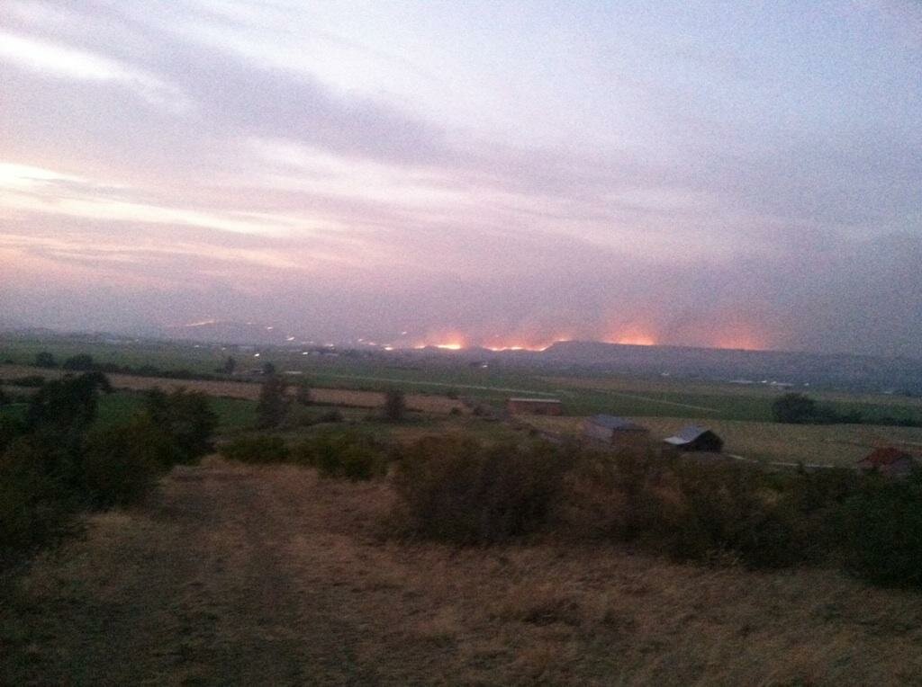
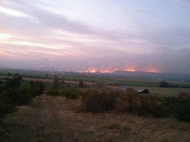
Taylor Bridge Wildfire (Photo: Kittitas County Emergency Response)

UPDATE: Wednesday, August 15, 2012.

“Smoke from Siberian wildfires continue to create hazy skies over western Washington…,” was the laconic caption from the National Weather Service’s Seattle bureau yesterday, accompanying a MODIS satellite photo. But on the eastern side of the Cascades, a local wildfire had started sometime after 1 p.m., later traced to construction crews working on Taylor Bridge. By 5:45 p.m., it had burned an estimated 2,800 acres, by 10 p.m., more than 10,000, by midnight, 16,000 acres, encompassing 26 square miles.

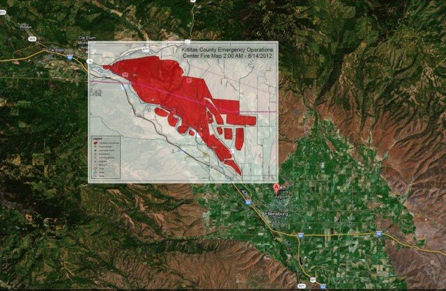
Michael Hanscom‘s fire map overlay, showing the fire’s spread as of Tuesday morning.

Fueled by high winds, it would burn through 27,000 acres by 5:20 a.m. Tuesday morning, stretching from Cle Elum toward Ellensburg. Kittitas County Emergency Response says more than 60 structures have burned, but no injuries have yet been reported. “450 people were evacuated overnight,” reports the Seattle Times; their photographer Bettina Hansen has been chronicling the scene on Twitter.

Photographer Steve Bisig has posted a number of pictures from the fire last night, and Ellensburg’s Daily Record has an extensive slideshow. More real-time information is available by following the #taylorbridgefire hashtag on Twitter.

Washington’s department of transportation says US 97 is closed from SR 10 to SR 970; anyone trying to get to Wenatchee is advised to use SR 970 rather than US 97. Today’s forecast is for temperatures in the upper 80s to 90 degrees, with continued gusting winds. The fire was estimated to be traveling at 25 mph Tuesday morning, heading southeast of its origin, and uncontained.

CNN reports that, as of Tuesday, 62 wildfires are burning throughout the western U.S. You can see the smoke from quite a few in this satellite photo from August 13.